Conditions continue to favor efforts to contain Mount Rainier wildfire
Published 1:30 am Thursday, August 13, 2026
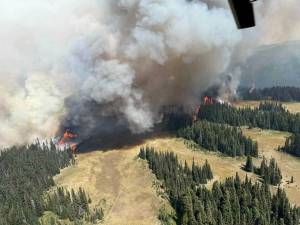
The fire burning inside Mount Rainier National Par is appearing to remain stable, with only small growth and favorable conditions further limiting its spread.
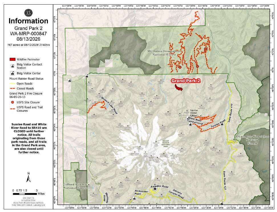
Named the Grand Park 2 Fire located three miles north of the Sunrise Visitor Center in the northern area of the park, was reported Aug. 7.
Size estimates have been spotty. An Aug. 12 update put it at 225 acres, but the Aug. 13 update put it at 167 acres.
Firefighters began operations Aug. 12 with the Baker River Interagency Hotshot Crew deployed in the forest and a base of operations at the Sunrise Visitor Center.
It was earlier reported that operations would be set up at the Enumclaw Expo Center, but the operations team wanted to be closer to the fire; this means that the Expo Center’s south overflow parking lot will be open to the public for upcoming events.
A Forward Operating Base has also been established in the White River Camp area.
The fire remains 0% contained, but firefighters are continuing fuel reduction work around the Sunrise Visitor Center, according to the city of Enumclaw. This includes felling and bucking trees and removing other debris from the area. A sprinkler system has also been installed to protect the visitor center.
Similar work is being done at the White River Campground and the White River administrative site.
Crews are also securing the norther edge of the fire and tie containment lines toward the west to reduce the risk of future spread.
Conditions remain favorable, but they may not last.
“Current conditions are keeping fire spread relatively limited, with the fire generally staying within 15 to 20 feet of timber due to higher relative humidity and good light fuel moisture,” Incident Commander Brian Gales wrote in an official report. “However, heavy fuels remain extremely dry and are actively burning. The main driver for fire spread continues to be torching and rollout” (the ignition of single or small groups of trees and the spread of fire via rolling debris) “and fire-weakened trees in this area are creating additional hazards.”
Winds have also remained light in the area.
It’s possible that a thunderstorm over the weekend could complicate the fire.
“Chances for thunderstorms increase tomorrow afternoon and are likely on Friday near the incident,” the InciWeb site reads. “Wetting rain and gusty outflow winds are expected if a cell moves over the incident during the next 48 – 72 hours.”
Humidity is also expected to drop on Sunday.
A containment goal has been set for this October.